An elephant on Comino?

9479371604_2f63979f58_o

An elephant on Comino?

Not quite!

Although fossilised remains of a dwarf species of this grand creature have been found in places like Ghar Dalam on Malta, there is no fossil record of anything so huge on the little, 2.5 square kilometre island lying between Malta and Gozo.

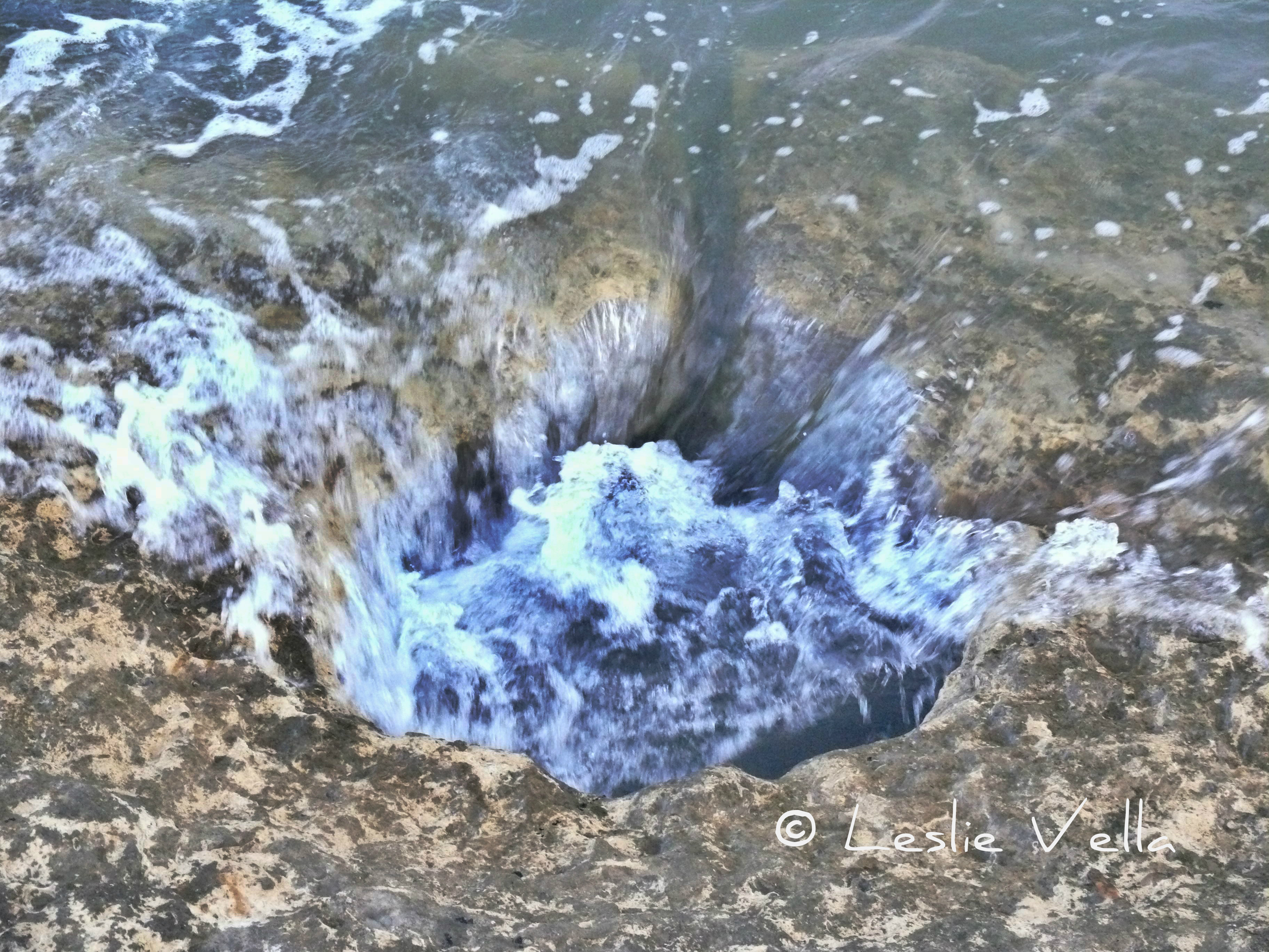
There is, however, an impressive rock formation found on the high cliffs of Comino’s eastern side which definitely resembles one. A natural monument featuring a gigantic head complete with its trunk lowered gingerly into the water. The detail is so incredible that one can also discern a small eye socket on top of the head with the rest of the animal’s body seemingly carved out of the rock.

A little known natural feature which lies away from the more popular sea route between Malta and Gozo to the west of Comino and therefore not as famous as its mainland counterpart the Blue Grotto at Zurrieq which is known locally as the Elephant’s Leg.  The Comino Elephant’s main claim to fame is its appearance in Kevin Reynolds’ 2002 film, The Count of Monte Cristo which had extensive scenes shot on Comino with the island’s Santa Maria Tower doubling as the Chateau d’If.  In the 2002 film the Elephant Rock was used as one of the clues to get to the hidden treasure in the story.

The Comino “elephant” bears a different official name however. The maps identify it as id-Darsa, the Molar and indeed it does also bear a resemblance to a huge extracted molar complete with deep roots.

Elephant or Molar? A question of taste perhaps. Personally I am for the former! And you?

The sunken silos of Birzebbuga

The sunken silos of Birzebbuga

At the very entrance of the village of Birzebbuga, at the extreme south-east of Malta, lies the small but important prehistoric site of Borg in-Nadur. The site, which lies a few hundred metres away from the better known Ghar Dalam cave, started life as a late Tarxien-phase megalithic temple but was eventually occupied by Bronze-Age settlers who developed a major village complete with a still-surviving defensive wall which is reputedly Malta’s oldest surviving fortification. L1460357 hdr pixlr signed The extensive Bronze-Age village which existed during a one thousand year interval between 1500 and 500 BCE originally stood on high ground overlooking St. George’s Bay but its remains and context have today been sadly disturbed by modern development including the building of the major road into Birzebbuga which cuts through the land formerly occupied by the village near the shore. One surviving indicator of the size and extent of the Borg in-Nadur bronze-age village consists of a number of rock-cut silos which were used by the villagers to store grain. Silos of this type have also been found in similar settlements from the same period such as Bahrija and Luqa on Malta and in-Nuffara in Xaghra, Gozo.  The grain was either stored for future consumption or else as seeds for the forthcoming growing season.  Given their location so close to the sea it could also be that the grain was stored there for purposes of trade with visiting vessels. L1460359 pixlr signed These silos were dug into the rock and eventually plugged to keep the grain dry and protected from the elements. They were bell-shaped cisterns not unlike the rainwater cisterns dug by the inhabitants of the Maltese islands to capture and store rainwater during the rainy season. The Birzebbuga silos which survive today consist of a small group on an exposed patch of rocky coast which is accessible from the promenade near the small sandy beach opposite the Al Fresco restaurant. The surviving silos today consist of around fifteen but until a hundred years ago they numbered closer to one hundred. In fact no less than 32 were destroyed by the British colonial administration on 31 May 1920 so that they could build a coastal road to the village which had increased in importance due to the seaplane base which had been established at Kalafrana. A further 41 silos were destroyed some time later when the original road was widened. L1460387 pixlr signed An interesting aspect connected with the Birzebbuga grain silos is the fact that the surviving ones all lie at the very edge of the coast and that some of them are actually below sea level. Given that underwater silos are of little practical use, what the current state of the silos implies is that the coastal landscape on which they stand must have undergone some fairly substantial upheavals over the past three thousand or so years.   The silos today lie under water either due to a sea level rise of a few metres which changed their original low cliff-top location to a sea-level one or else as a result of subsidence which saw the rocky foreshore on which they were carved sink below sea level due to some tectonic cataclysm which pulled it downwards. L1460362 pixlr signed Today, the silos lie in an accessible area which is reasonably well protected from the deprivations of further development. Most of them have filled up with accumulated silt from both the land and the sea and a number of them feature recent channels which have been cut into the rock to link them directly to the sea. A couple have been sealed to prevent accidents. Evidence of past quarrying on the globigerina rock-face on which the silos are located is visible through two cross-sections of silos which still survive.   The cross-sections give a very good indication of the original bell-shape of the silos. L1460406 pixlr signed Some of the silos feature a reddish tint which was caused by fire implying that the pits were filled with flammable material which was set alight during some point. L1460394 pixlr signed The silos of Borg in-Nadur are not impressive or monumental in any way, being mere holes in the rock.  But they do bear testament to a forgotten people who inhabited this land some three thousand five hundred years ago: a warrior-like people with bronze tools who built fortified villages next to the abandoned temples of their stone-age predecessors. A people who not only were farmers and traders but also built complex food storage facilities for their grain using the concept of rock-cut cisterns which continued to be used in Malta for the same purpose until at least the 1980s of the current age. They also serve as a grim reminder related to the major risk phenomenon of our time: global warming and its effect on coastal settlements should sea levels rise. L1460398 hdr pixlr signed